
10th August 2025
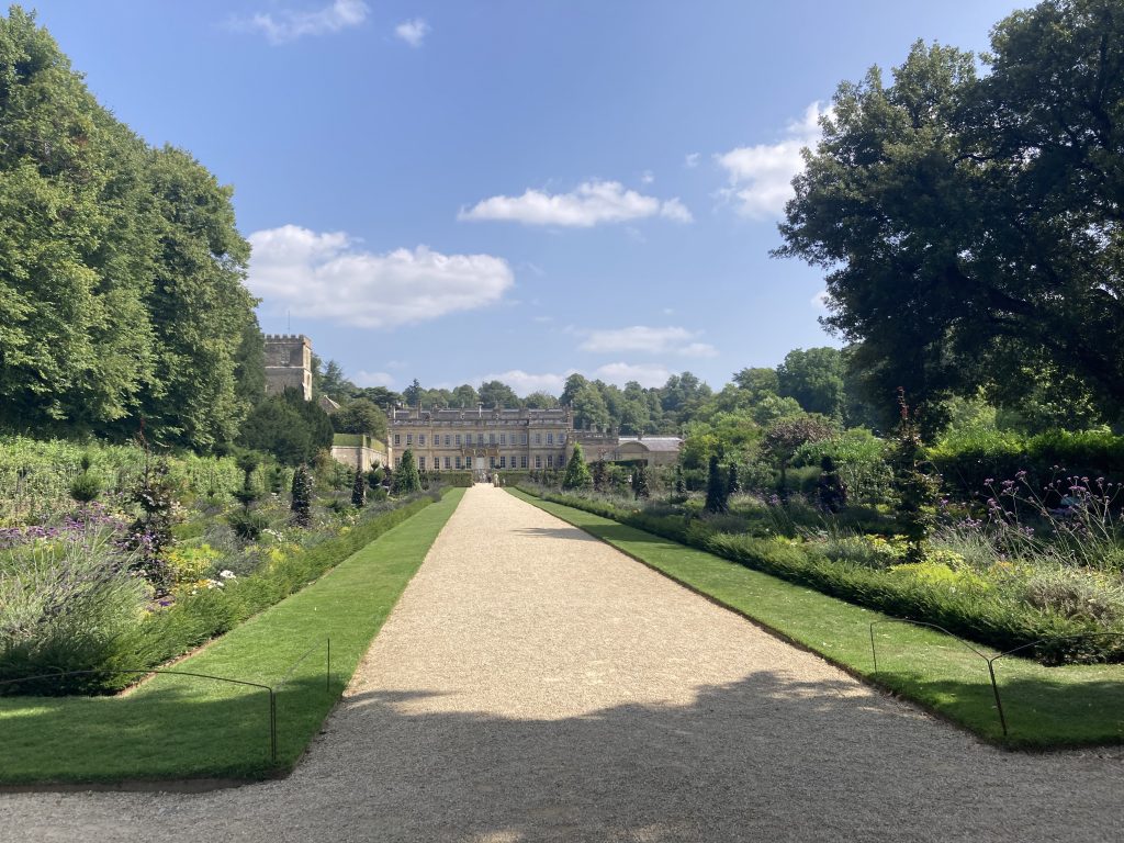
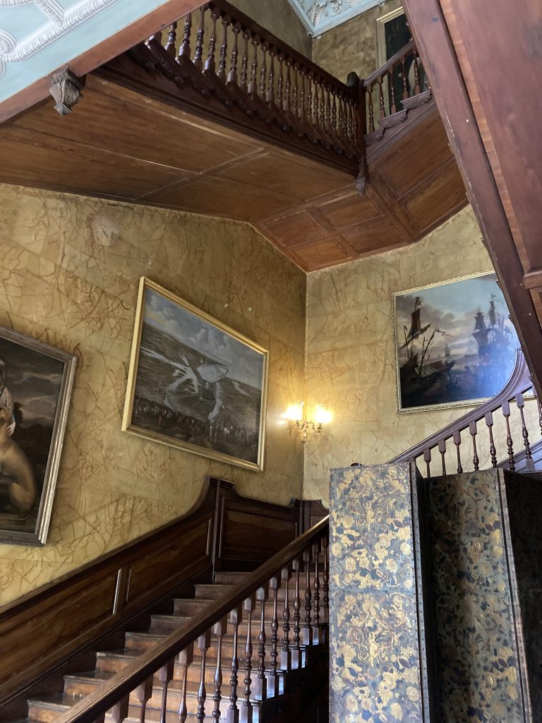
Our nearest National Trust property in the UK is Dyrham Park, a few miles north of Bath. We feel a special connection with it for two reasons beyond proximity: in 2009 we planted an ash tree there in memory of my wonderful Dad, and in 2015 – the year we both turned 50 – our lovely friend Fiona gave us a present of a roof slate with a birthday greeting chalked on it as part of the roof restoration project there, so our names will be visible in the attic long after we’ve shuffled off this mortal coil! We’ve enjoyed Shakespeare productions and rambling family walks in the grounds, hung out with their resident fallow deer, and hugged a fair few venerable oak trees over the years. It’s grand – in more ways than one, as you can see:
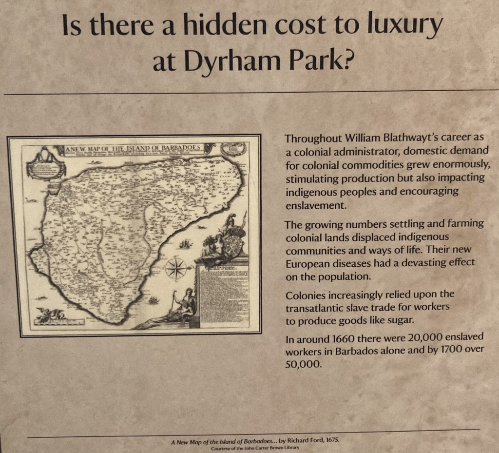
On Saturday we visited a new exhibition inside the house itself. What an experience. The man responsible for putting Dyrham on the map in the late 17th century, William Blathwayt, is revealed as a key figure in the administration and development of England’s colonies in the Caribbean and North America, serving no fewer than five monarchs. The small island of Barbados gets very big coverage, warts and all:
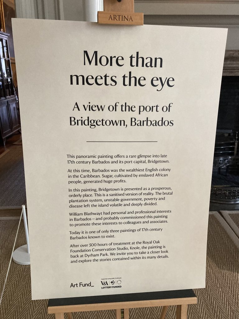
Of course we are very well aware of the troubled history of the colonies, but it’s sobering stuff nonetheless. There’s no getting away from the fact that Pollards Mill, believed to date from 1712, is part of this history. We know very little detail about Pollards’ past, but intend to carry out some research in the Barbados Museum in Bridgetown when we get a chance. Talking of Bridgetown:
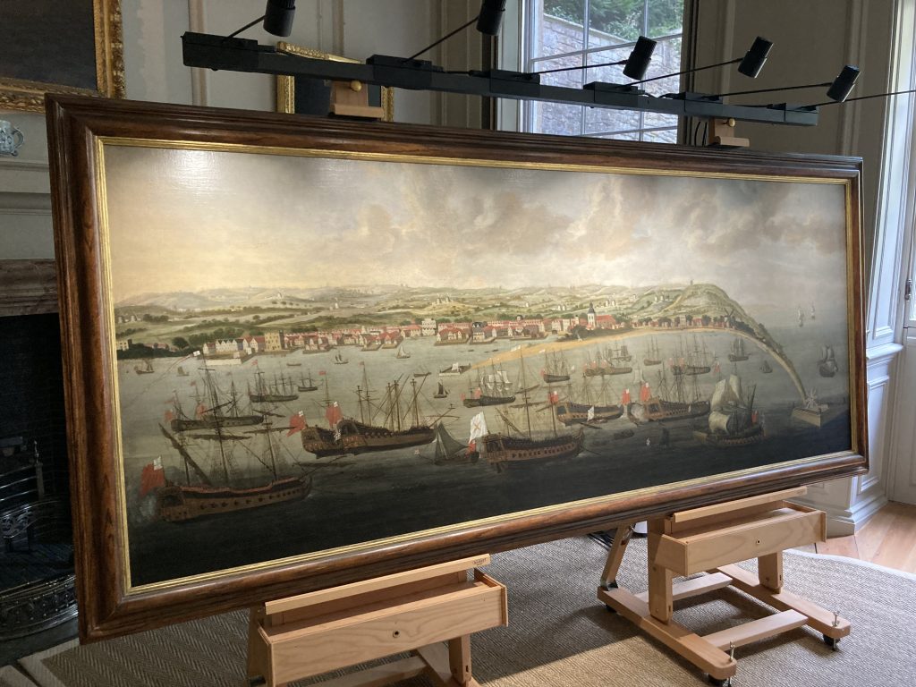
We can’t say we recognise the depiction of the harbour – or the hills! – but the number of sugar mills in the painting is extraordinary, and tells its own story.
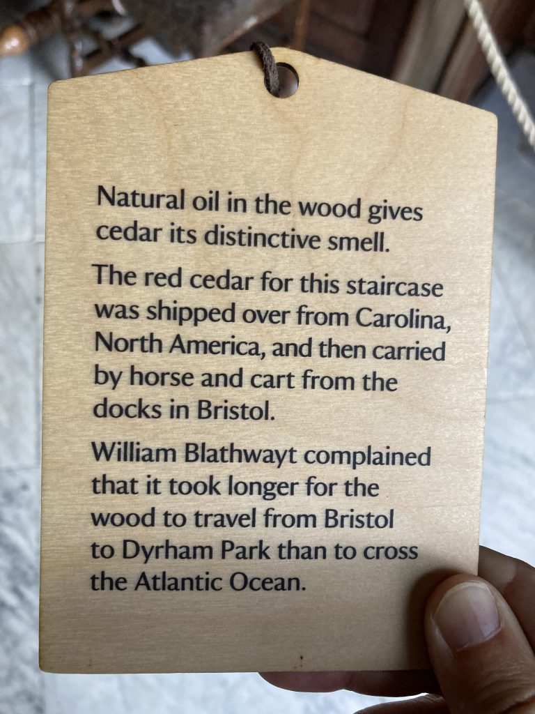
Back in the West Country, Blathwayt clearly wasn’t impressed with the local cart drivers:
Carolina, Virginia and of course Jamaica were other prominent colonies, but it’s remarkable that – for better or worse – tiny Barbados was so important, punching hugely above its weight. In Blathwayt’s day it produced more sugar than all the other colonies combined. Amazing. How?
Look at a map of the West Indies and you’ll see that Barbados sits out on a limb, the most easterly of all the islands. This made it both strategically important to the English and less vulnerable to attack from other colonial powers, notably France and Spain. Many of the other islands were repeatedly invaded and changed hands several times, whereas Barbados remained under British rule continuously until independence in 1966.
Furthermore, if you have ever visited both Barbados (a coral island) and any of the other (volcanic) Caribbean islands, you will know that its topography is far more gentle. This made it easier to clear for planting crops (first tobacco, later sugar) and gave it a head start.
But hang on, that’s not history – it’s geography. Stay tuned for the next post…
Leave a Reply